
Bahamas warns of Gale-Force winds and dangerous seas as strong cold front approaches
A strong cold front is expected to bring powerful northeasterly winds, rough seas, heavy showers and possible coastal flooding to parts of The Bahamas from Saturday night through Tuesday, October 20.
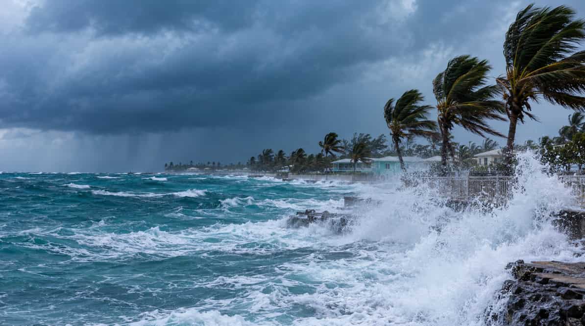
Bahamas: The Bahamas is projected to face potentially dangerous weather conditions as a strong cold front is expected to produce intense northeasterly winds, large ocean swells, turbulent seas and an increased threat of coastal flooding from the weekend in the early part of the next week.
The Bahamas Department of Meteorology (BDM) reported about the weather update through a Special Weather Statement published at 6 p.m. on Thursday, October 15. The advisory warns that the affected weather pattern could impact the Northern and Northwest Bahamas beginning from Saturday night and lasting through at least Tuesday, October 20.
Dangerous conditions are anticipated to extend across the Central and Southeast Bahamas Sunday night onwards.
The similar advisory was issued by the US National Weather Service’s marine outlook, the advisory warns that the intense cold front will continue into the waters near northeastern Florida from the late Friday hours until early Saturday before spanning from the vicinity of Bermuda to South Florida by late Saturday.
Winds ranging from strong to near-gale-force and moderate to severe sea conditions are projected to take place in the wake of the front. Gale-force conditions are also expected to occur across the portions of the southwestern North Atlantic.
After the front, rising moisture levels are projected to cause scattered rainfall and scattered thunderstorms in the Northern and Northwestern Bahamas through Friday night to Saturday. Showers are forecasted to move along and behind the frontal system on Sunday and Monday.
Certain thunderstorms could generate gusty winds, regular lightning flashes and brief intervals of intense rainfall, possibly deteriorating localised flooding in high-risk areas.
The Bahamas Meteorological Department has assessed a risk of limited to moderate risk of localised flooding in low-altitude and flood-vulnerable locations, specifically through Grand Bahama, Abaco, Bimini and New Providence.
Powerful, continuous northeasterly winds and large swells are projected to generate dangerous marine conditions from Sunday into at least Tuesday. Hazardous rip currents and turbulent surf are also projected through north and east facing shorelines, increasing danger for swimmers, beach visitors and small-craft operators.
The forecast projections depend on the weather as the system develops over the time. Further information regarding the forecast is expected to be issued by the Bahamas Department of Meteorology's official website.
Author Profile
Stay updated with WIC News' coverage of all the major happenings and updates on the developing weather systems across Caribbean including Hurricanes, Tropical Storms or Cyclones.
Latest
- Bahamas warns of Gale-Force winds and dangerous seas as stro...
-
Trinidadian man faces possible Guyana travel ban after alleg... -
Jamaica charges 19-year-old in triple murder and arson attac... -
Trinidad: Venezuelan woman reported abducted in La Romaine h... -
CBI Index 2026: St. Kitts and Nevis retains top spot, Domini...