
Yellow Flood Alert issued for Trinidad as heavy rain raises risk of localized flooding
The Trinidad and Tobago Meteorological Service warned that already saturated soils could quickly trigger flooding, overflowing watercourses and landslips as more rain is forecast throughout Monday.
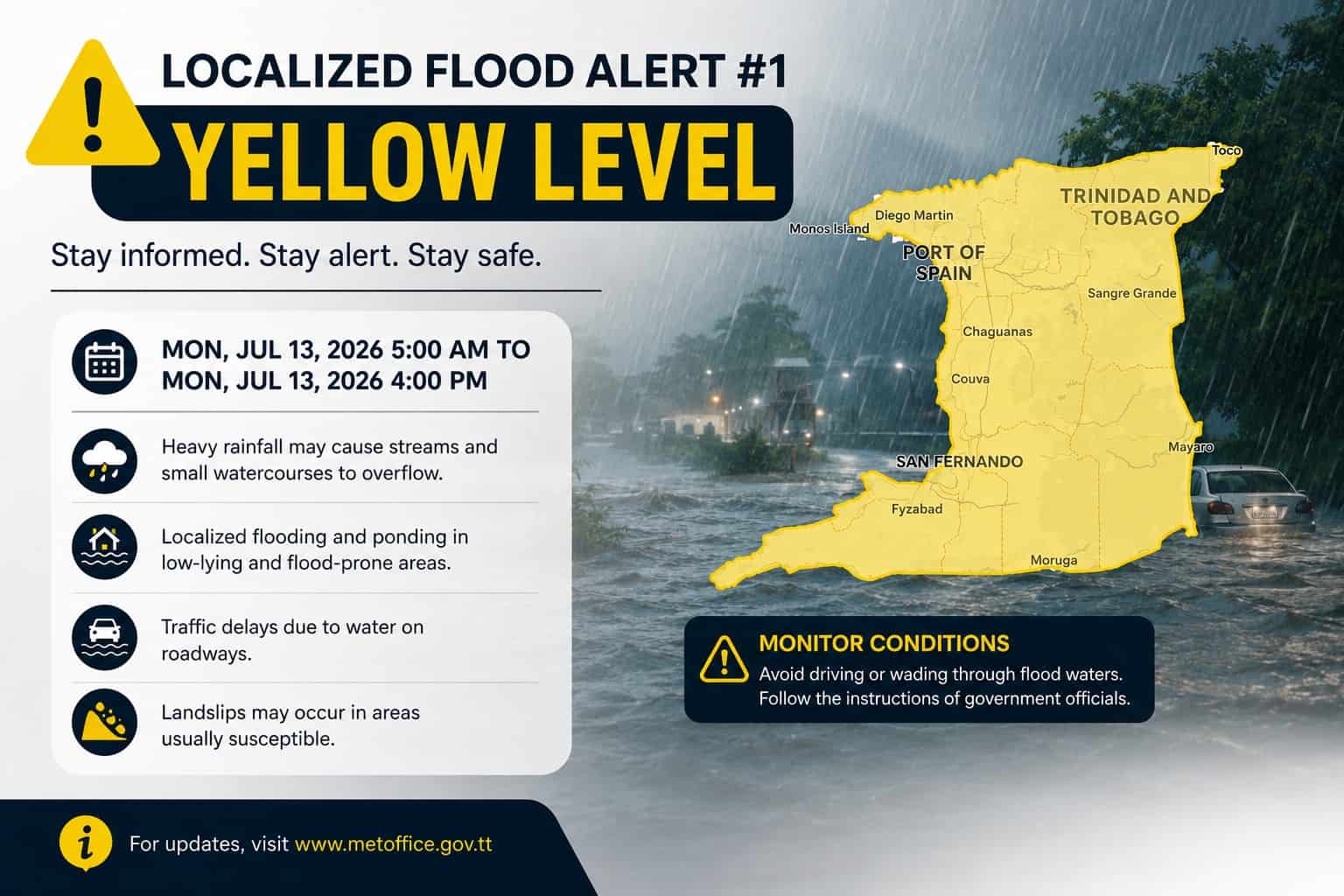
Trinidad and Tobago: The Trinidad and Tobago Meteorological Services have issued a Yellow Level Localized Flood Alert as another round of rainfall is expected on Monday, July 13, 2026. Residents are being urged to prepare for possible flooding following the alert.
The alert comes in effect from 5:00 a.m to 4:00 p.m on Monday, July 13, 2026, following the rainfall that has already left soils saturated across several areas across the nation.
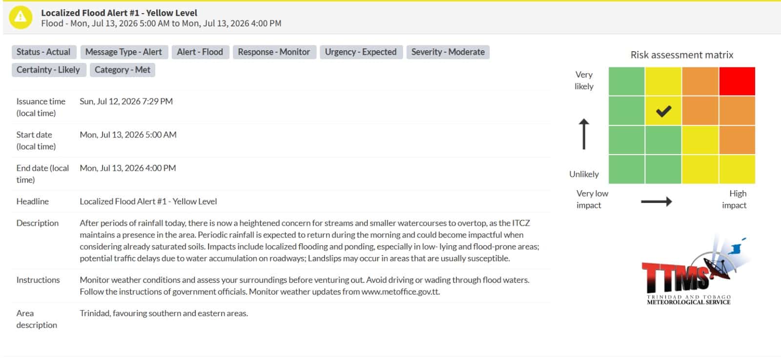
The Trinidad and Tobago Meteorological Services issued the alert at 7:29 p.m on Sunday, July 12, 2026.
As per the official reports by the Met Office, the Inter-Tropical Convergence Zone (ITCZ) remains present in the region and additional periods of rain are expected throughout Monday morning.
Forecasters warned that even moderate rainfall can become problematic instantly due to the already waterlogged conditions.
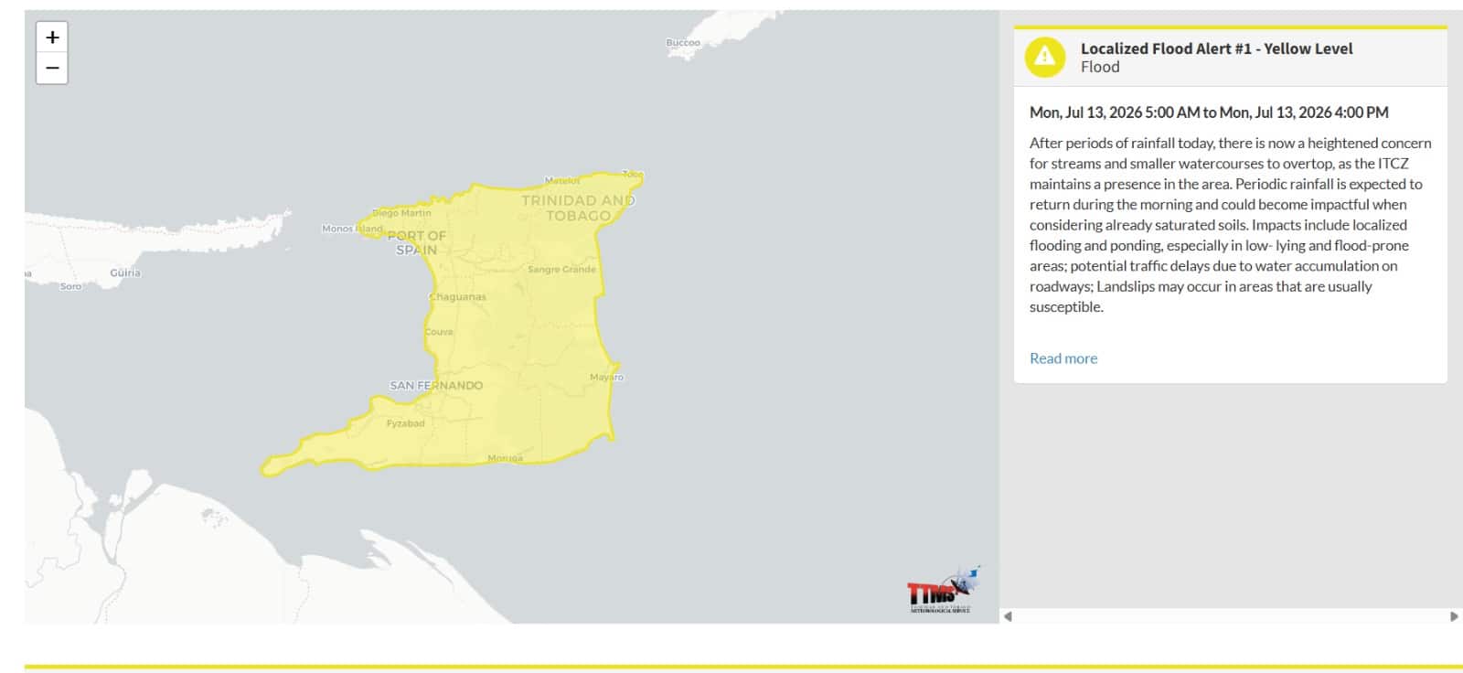
After periods of rainfall today, there is now a heightened concern for streams and smaller watercourses to overtop, as the ITCZ maintains a presence in the area. Periodic rainfall is expected to return during the morning and could become impactful when considering already saturated soils, the Met Office mentioned.
The Met Office further noted the impacts, which reportedly includes flooding and ponding in low-lying as well as flood-prone areas and landslips remain as a possibility too.
Impacts include localized flooding and ponding, especially in low-lying and flood-prone areas; potential traffic delays due to water accumulation on roadways; Landslips may occur in areas that are usually susceptible, the Met Office noted.
Forecasters hereby warned that even moderate rainfall can become problematic instantly due to the already waterlogged conditions.
The Met Office further issued the instructions to be followed during the alert, which includes, “Monitor weather conditions and assess your surroundings before venturing out. Avoid driving or wading through flood waters. Follow the instructions of government officials. Monitor weather updates from www.metoffice.gov.tt. ”
As per the forecast reports, Southern and eastern Trinidad are expected to be the hardest-hit areas, as the streams and smaller watercourses could overflow their banks there, leading to localized flooding and ponding in low-lying and flood-prone communities in the region.
Furthermore, the motorists have reportedly been warned to expect traffic delays as the water is expected to accumulate on roads and the residents in hilly districts should remain alert for the possibility of landslips in areas known to be vulnerable.
The residents have been advised to follow the guidance of emergency officials and closely monitor the weather conditions.
Author Profile
Stay updated with WIC News' coverage of all the major happenings and updates on the developing weather systems across Caribbean including Hurricanes, Tropical Storms or Cyclones.
Latest
- Guyana: Security guard Esan Rose shot dead at Georgetown sup...
-
Guyana: Teacher and former national athlete Leslyn Major die... -
Belize: Several injured after steps collapse during wake in... -
Guyana: Police Deputy Commissioner placed on leave over rape... -
Trinidad: Man fatally stabbed after altercation in Enterpris...


